

 The Clemson Center for Geospatial Technologies and the Technology Lending Program at Cooper Library have partnered to launch the Serving Clemson Surveying Clemson program.
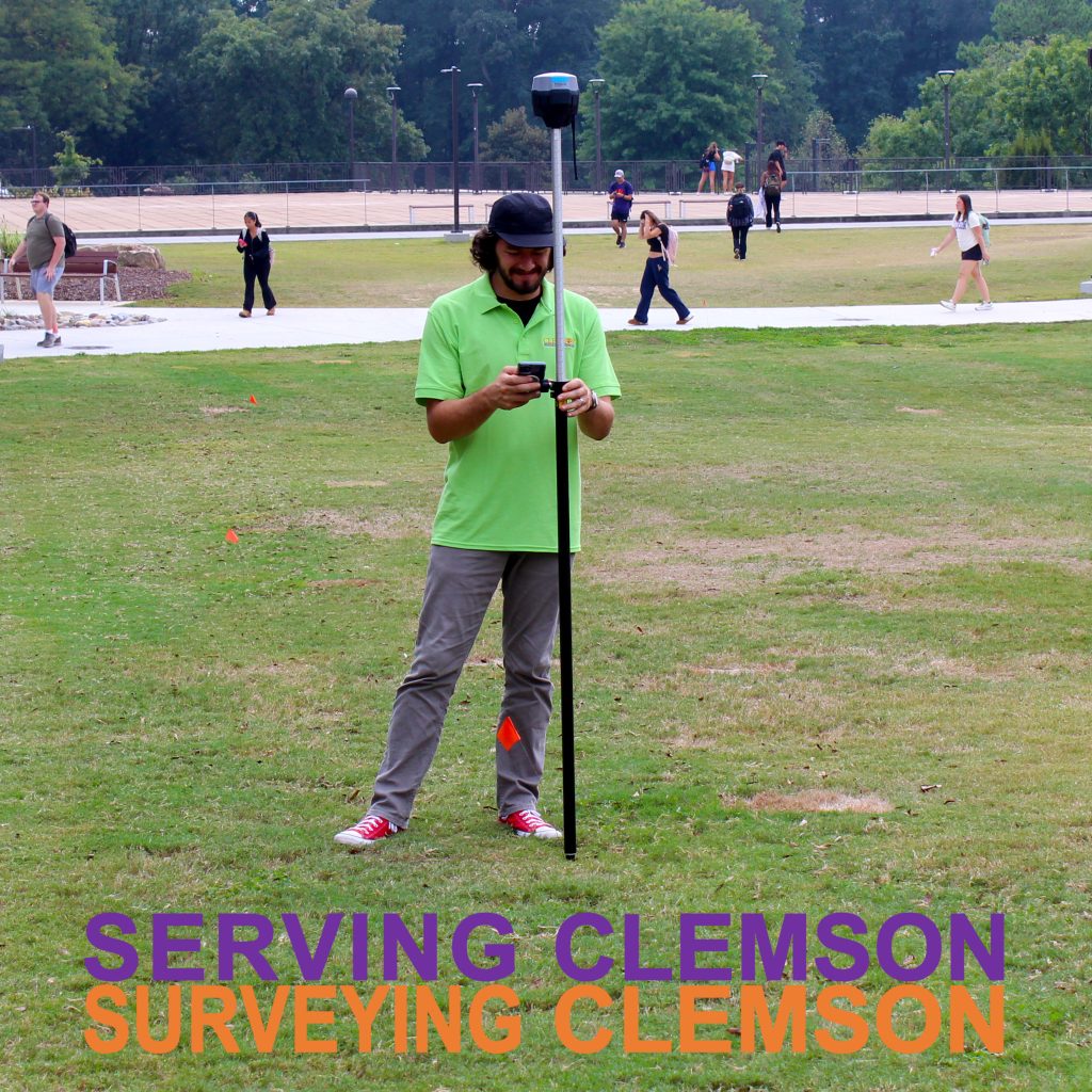
The program allows students, faculty and staff to check out survey mapping equipment at Cooper Library. GPS (Global Positioning Systems) survey equipment, also known as GNSS (Global Navigation Satellite Systems), enables the collection of highly accurate location data in the field. These GPS systems are increasingly used with drones to capture high-resolution imagery of research areas.
The program was created to meet the growing demand for this technology for research and education across many colleges at Clemson; this program allows students to use the equipment free of charge. Furthermore, the Clemson Center for Geospatial Technologies offers workshops on Field Data Collection each semester, which will now teach students how to collect data with these survey mapping GPS units so they are able to go out and conduct their own research. For more information, see the CCGT and Clemson Libraries websites below.